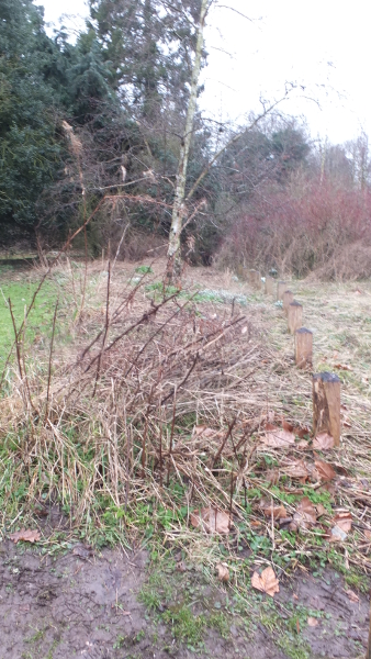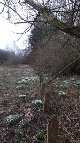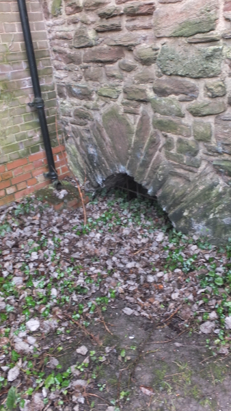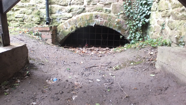
Pinsley Brook emerges from a spring in Lady Pool in Shobdon Marsh. The pool lies south of Shobdon Airfield, to the west of Leominster. It flows eastwards, south of Kingsland, to join the River Kenwater south of Summergalls on the north-west of Leominster. Previously, the brook flowed close to but separate from the river and down one side of Vicarage Street, under Broad Street which crossed via Red Cross Bridge and then around the Priory Precinct to join the River Lugg beyond Leominster Station.
View Map
Our interest was raised initially by the report of the 1979-80 excavation of Leominster Old Priory by Duncan L. Brown and Duncan Wilson, which discusses the canalisation of the Pinsley Brook – “for at least 650m, and possibly twice that distance.” Part of the interest is whether the canalisation was done on behalf of the monks of the newly founded monastery around 1140, or whether it may have belonged to a pre-Conquest monastery.
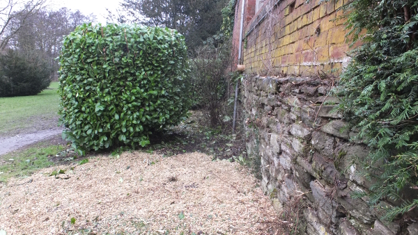
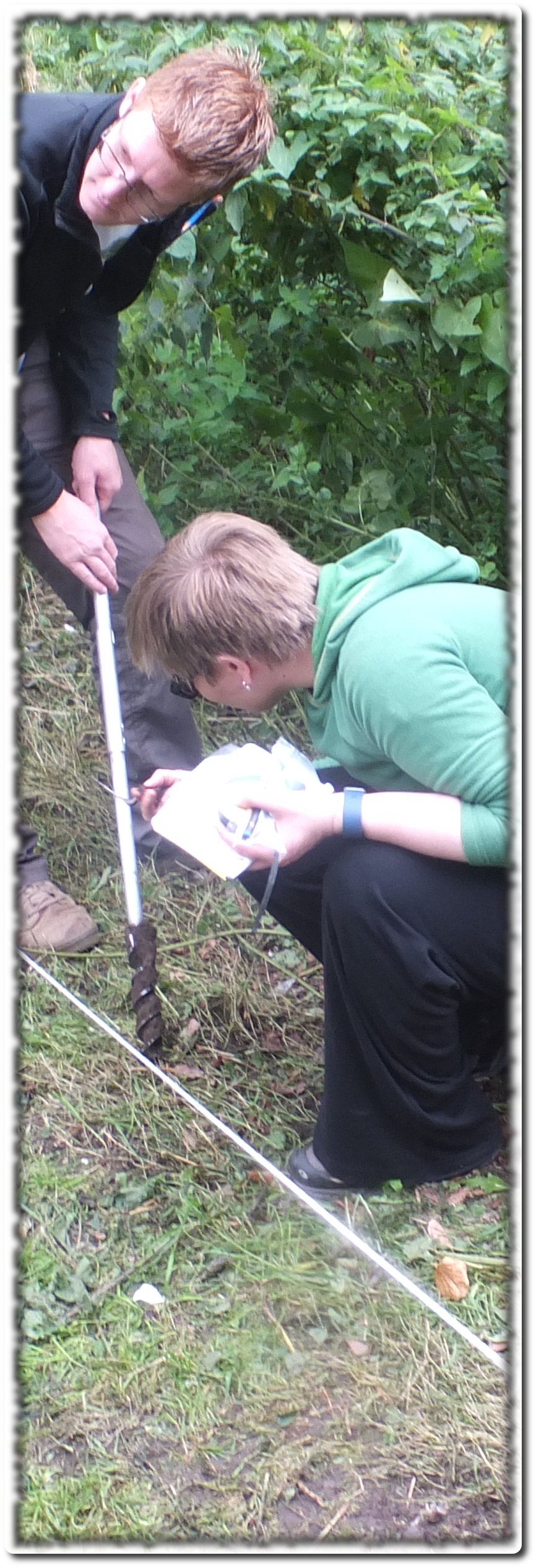
On Saturday 24th September 2016 an excavation on part of the course of the Pinsley Brook. It was done on behalf of Leominster Civic Society and Grange Court/LARC and was labelled a “Taster Session” to begin investigation of the history of the Brook, which has been filled in since 1932, but used to run under the Old Priory building. This Taster Session which was extraordinarily kindly done on a voluntary basis by Community Archaeologist Chris Atkinson and his environmental colleague Dr Emily Forster of the University of Sheffield, was to do “an assessment of archaeological potential” in an auger survey.
A report, here, was produced which concludes, “The canalisation of the Pinsley Brook has clearly been shown to belong to a phase of construction earlier than the construction of the Old Priory building, but no more exact evidence of the date or methods of canalisation are available.”
So we hope to find some evidence, and to draw attention to Leominster’s exciting historic watercourses – part of our “Bridges and Watercourses” theme.
So we had a great day, with good weather, and quite a crowd of interested people who followed the signs to the site in the Millennium Field to see the struggle to get the auger down through the hard clay and grit and, more challengingly, to get it back up with the sample intact. The professionals worked very hard on our behalf! And some of us helped in the task. There was clearly charcoal present, which can give radio carbon dating, and we were well pleased with the operation.
We hope the report will be the basis for a grant application for a further, more lengthy dig investigating the same site. It says we need to see “a cross section of the brook and the deposits within and beneath it, and also to obtain a sequence of sediment cores through the deposits. A combination of archaeological and environmental techniques could then be used to further investigate the history of the brook, including analysis of the sediments themselves, pollen and diatoms (algae) within them. Chronological control through radiocarbon (or other) dating would be a crucial aspect of any investigation.”
The charcoal found at the depths achieved is probably in fact from the period of the industrial revolution, but deeper excavation is thought likely to find earlier samples and pollen preservation was good, which is another optimistic sign.
We hope to collect more stories of people’s memories of the brook; (we already have photos and some accounts of youthful waterborne adventures) – as well as discovering more details of its origins.
Nicolette Baines